






latifsurveyor.com

Professional Land & Engineering Surveying

Precision Surveying for Every Project

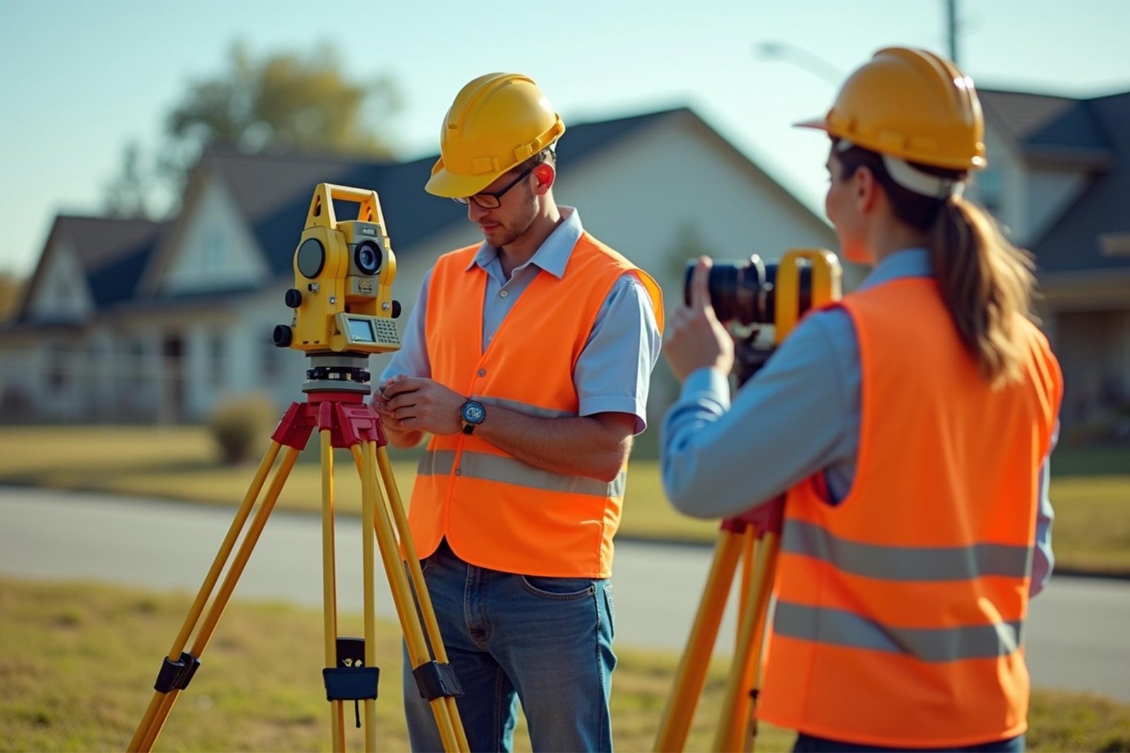
Accurate surveying solutions for construction, land development and infrastructure projects. We use modern technology and proven field expertise to deliver reliable data you can build on.

2024 - Award winning for the best surveyor
ABOUT LATIF SURVEYOR

Trusted Experts in Land & Engineering Surveying

We provide accurate and reliable surveying solutions for construction, land development and infrastructure projects. Our team combines professional field expertise with modern surveying technology to deliver precise data for better planning and confident decisions.

Call us anytime

0556757409

Professional Surveying Services

Surveying Solutions You Can Rely On

We provide accurate and reliable surveying services for construction, land development and infrastructure projects, using modern equipment and proven field methods.

no.01
Boundary & Property Surveys

Defines exact property lines to prevent disputes and ensure legal land ownership

no.02
Topographic Mapping

Accurate elevation data and terrain details for smarter planning and development decisions

no.03
Construction Staking

Precise on-site marking ensures structures are built exactly to design specifications

why choose surveyuk ?

Your Reliable Partner in Land Data Solutions

Choosing the right surveyor means choosing accuracy, reliability, and professional insight. We combine years of field experience with modern technology to deliver results you can trust—every time.

Accurate Survey
90%
Saving You Time
85%
0 +

Top Stats

0 +

Project Complete

0 +

Years of experiance

0 +

Team Ready

دقة في كل قياس

Start With Accurate Data. Build With Confidence.

From land surveys to construction setout and digital mapping, Latif Surveyor provides precise surveying solutions that help you plan better, build accurately and complete projects with confidence.

OUR PROJECTS | مشاريعنا

Precision in Every Project. Excellence in Every Detail.

Explore our surveying projects and discover how accurate field data, modern technology and professional expertise support successful planning, development and construction.

Residential Land Development Survey

We provide detailed boundary and topographic surveys for residential development projects. Accurate site data helps with land planning, grading, design and infrastructure layout.

Road & Infrastructure Survey

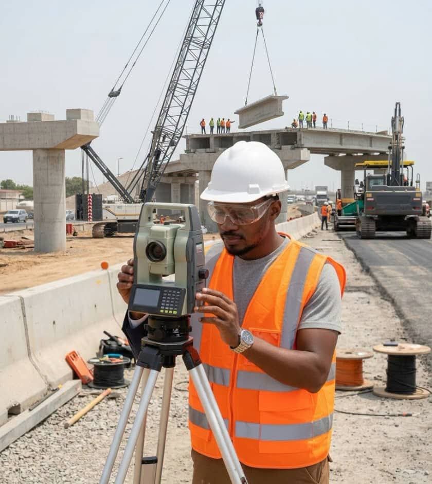
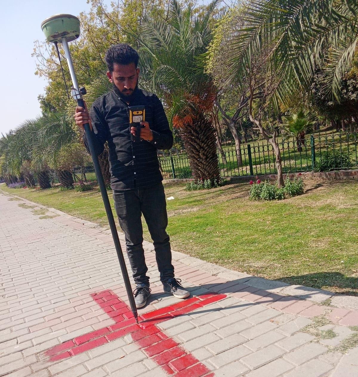
Our surveying team supports road and infrastructure projects with accurate route surveys, construction setout and alignment verification using modern GNSS and Total Station equipment.

Construction Site Survey

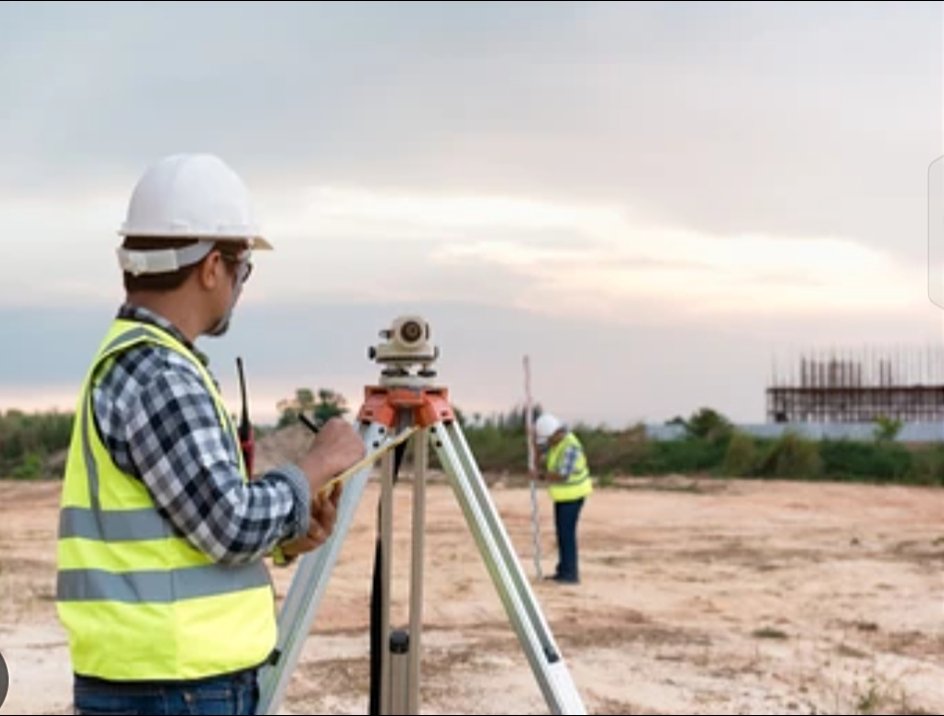
Precise site measurements and construction setout help ensure foundations, structural elements and other project features are positioned according to approved drawings.

Client Testimonials

What Our Clients Say

Reliable surveying, clear communication and accurate results. Here’s what clients appreciate about working with Latif Surveyor.

Ahmed R.
    Ahmed R.

    Construction Manager

    The survey was accurate and the team was very professional. They explained everything clearly and delivered the information we needed without any unnecessary delays

    Usman K.
      Usman K.

      Property Developer

      We needed reliable site measurements for our project and Latif Surveyor handled the work very well. The team was responsive, precise and easy to work with.

      Mohammed A.
        Mohammed A.

        Civil Engineer

        "خدمة احترافية ودقة عالية في أعمال المسح. كان الفريق متعاوناً وسريعاً في إنجاز العمل، والنتائج كانت واضحة وموثوقة."

        Hassan M.
          Hassan M.

          Architect

          Good communication, accurate measurements and professional field work. The survey information made the next stage of our project much easier

          LET'S WORK TOGETHER | لنعمل معًا

          Accurate survey data is the foundation of successful construction and development. Latif Surveyor provides reliable land and engineering surveying solutions to help you plan with confidence and build with precision.

          Frequently Asked Questions | الأسئلة الشائعة

          Got Questions? We’ve Got Answers

          What surveying services does Latif Surveyor provide?

          We provide land and engineering surveying services including boundary surveys, topographic surveys, construction setout, GPS and GNSS surveys, Total Station surveys, route surveys, drone surveying and quality control surveys.

          A professional survey provides accurate information about boundaries, elevations, terrain and existing site features. This helps engineers, architects and contractors plan and build with greater accuracy.

          We use modern surveying equipment including GPS and GNSS receivers, Total Stations and drone based mapping technology, depending on the requirements of each project.

          We use modern GNSS (Global Navigation Satellite System) receivers, total stations, drones for aerial mapping, and advanced CAD/GIS software to deliver precise and reliable surveying results. Our team stays up to date with the latest surveying innovations.

          The time depends on the size, location and complexity of the project. After reviewing your requirements, we can provide an estimated timeline for the field survey and final deliverables.

          Yes. We provide precise construction setout for foundations, structures, columns, roads and other project elements based on approved drawings and design information.

          Providing Accurate Land Surveying Services for Confident Planning and Development.

          Address

          Khurais Road Riyadh
          Saudi Arabia

          See on Google Maps

          Office Hours

          Sun-Fri ( 8AM-6PM )

          Copyright © 2025 Widagdos. All Rights Reserved.